Home > Tag > Fema Region 2

Welcome to the official site for FEMA's Great Lakes Coastal Flood Study, the comprehensive storm and wind study of the Great Lakes basin for the purpose of updating the coastal flood hazard information and Flood Insurance Rate Maps (FIRM) for Great Lakes coastal communities. Below you’ll find a list of the most recent meetings with their agendas, links to preliminary maps, and presentations. To the left you’ll find additional Great Lakes Coastal Flood Study content.

FEMA created this self-guided tutorial on coastal flood mapping that provides important information to coastal communities and their residents. FEMA’s “Coastal Hazards and Coastal Mapping: A Visual Guide” is a glossary of coastal mapping terms and a companion to the tutorial.

View all posts by lake: Lake Superior | Lake Michigan | Lake Huron | Lake St. Clair | Lake Erie | Lake Ontario

View all posts by state: Minnesota | Wisconsin | Illinois | Indiana | Michigan | Ohio | Pensylvania | New York


Posts

State of New York Flood Risk Review Meetings

Ontario Work Maps
Here are the meeting materials for the Lake Ontario and Lake Erie Flood Risk Review Meetings in New York.
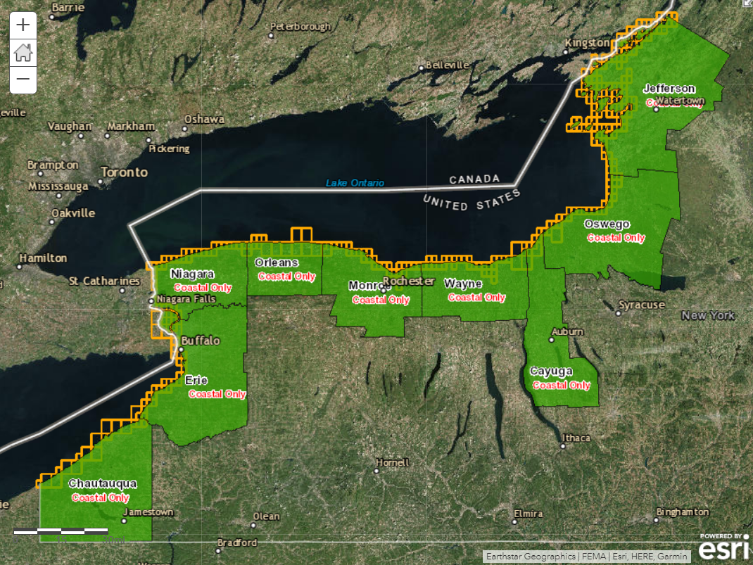
Lake Ontario

Cayuga County
July 24, 2017

Jefferson County
July 25, 2017

Oswego County
July 25, 2017

Wayne County
November 28, 2017
Agenda [.pdf], Fact Sheet [.pdf], FRR Presentation [.pdf]

Monroe County
November 28, 2017
Agenda [.pdf], Fact Sheet [.pdf], FRR Presentation [.pdf]

Orleans County
November 29, 2017
Agenda [.pdf], Fact Sheet [.pdf], FRR Presentation [.pdf]

Seneca Nation
December 6, 2017
Agenda [.pdf], FRR Presentation [.pdf]

Lake Erie

Chautauqua County
December 19, 2017
Agenda [.pdf], FRR Presentation [.pdf]

Erie County
January 18, 2018
Agenda [.pdf], FRR Presentation [.pdf]