The two primary goals of the National Flood Insurance Program (NFIP) are to reduce flood losses through sound floodplain management practices and to help homeowners and business protect against the risk of flooding by making flood insurance available in participating communities. To achieve these goals, FEMA produces and continues to maintain Flood Insurance Rate Maps (FIRMs).
The purpose of a FIRM is to identify the areas in a community that are subject to flooding. One of the areas shown on the FIRM is a Special Flood Hazard Area (SFHA). The SFHA is the area that has a 1-percent or greater chance of flooding in any given year; this area is also referred to by some as the 1-percent-annual-chance floodplain, base floodplain, or the 100-year floodplain.
The Coastal Hazards Flood Zones Overview provides some general information on the different components of the coastal flood elevations and explains how coastal SFHAs and flood zones are mapped on a FIRM.
The Coastal Hazard Analysis and Mapping process involves a series of steps that are conducted in order to produce a Digital Flood Insurance Rate Map (DFIRM). These steps include:
- Defining a base topography data set sufficient for analysis and mapping
- Defining cross-shore transects to represent terrain and variability of shoreline features
- Conducting analyses to characterize storm-induced erosion which may occur within coastal areas
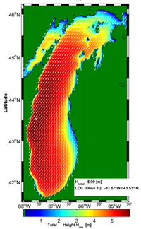
- Conducting overland wave modeling to define coastal hazard areas and establish base flood elevations (BFEs)
- Mapping of coastal hazard areas utilizing the results of modeling and analysis
- Production of DFIRM products to indicate coastal hazard areas within coastal communities