
Below you can view Fact Sheets containing information related to the Great Lakes Coastal Flood Study:
Wave Hazards and VE Zones on the Great Lakes Fact Sheet:
The Letter of Map Revision Process Fact Sheet:
Using LiDAR for Map Amendments Fact Sheet:
Understanding Risks Along the Great Lakes: The Impact of Coastal Armoring Structures on Flood Hazards Fact Sheet:
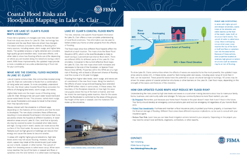
Coastal Flood Risks and Floodplain Mapping in Lake St. Clair Fact Sheet:
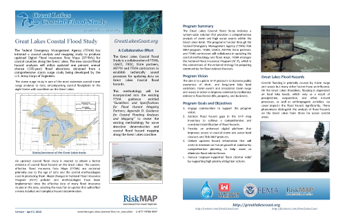
Program Summary Fact Sheet:
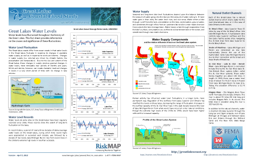
Great Lakes Water Levels Fact Sheet:
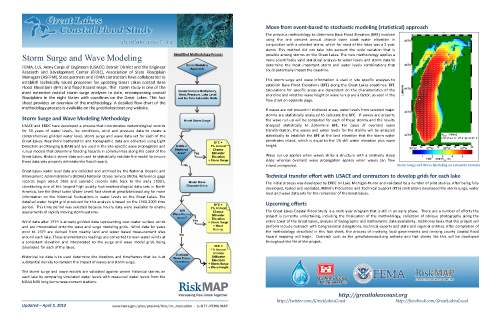
Storm Surge and Wave Modeling Fact Sheet:
About the National Flood Insurance (NFIP) Program
How the NFIP Works [FEMA .pdf]
Joining the NFIP [FEMA .pdf]
NFIP Description [FEMA .pdf]